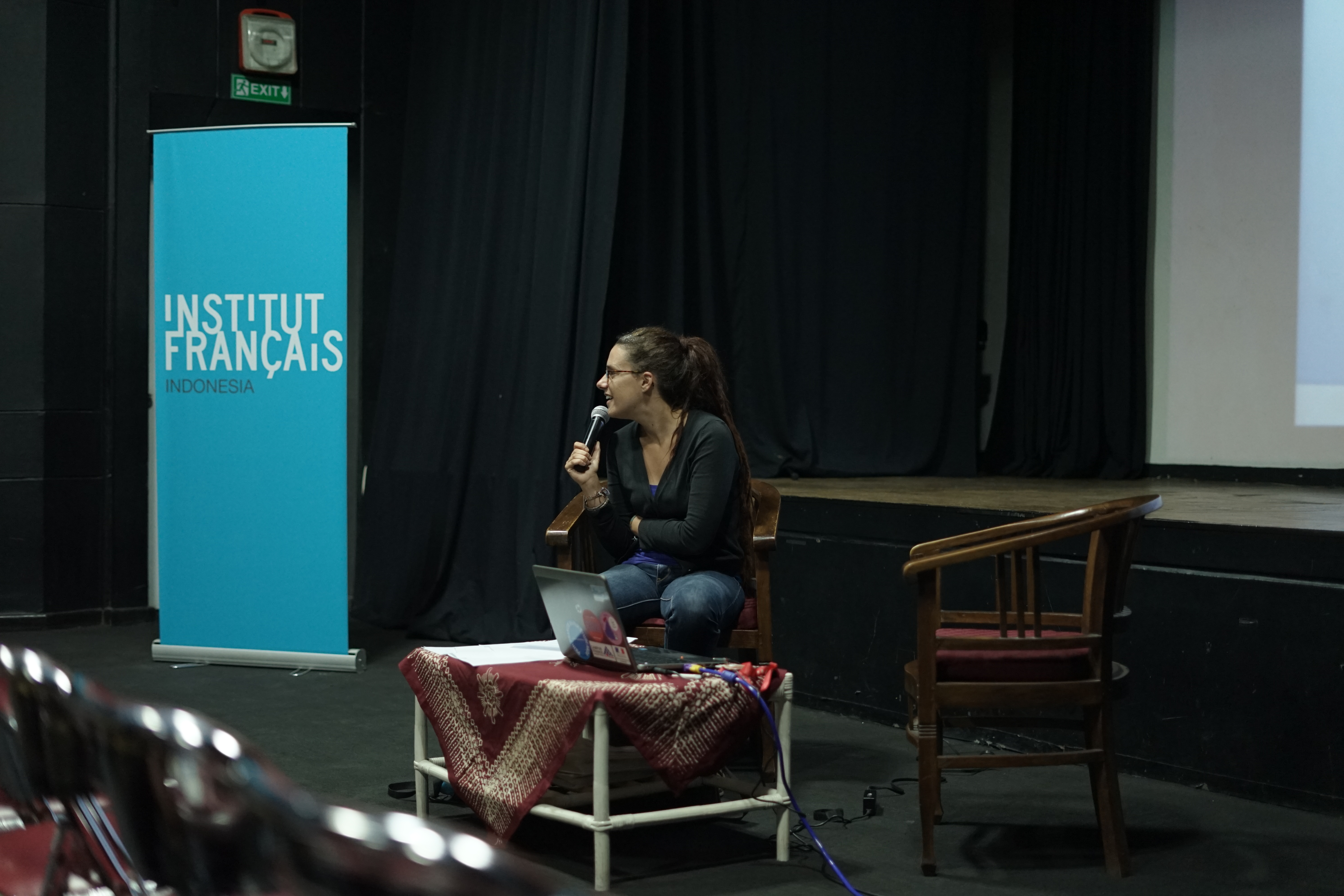
(Review of seminar presented by Adelin Martinez, a PhD student from Aix-Marseille University of France, 13th October 2017, IFI Yogyakarta (Institut Francais Indonesia, Yogyakarta)).
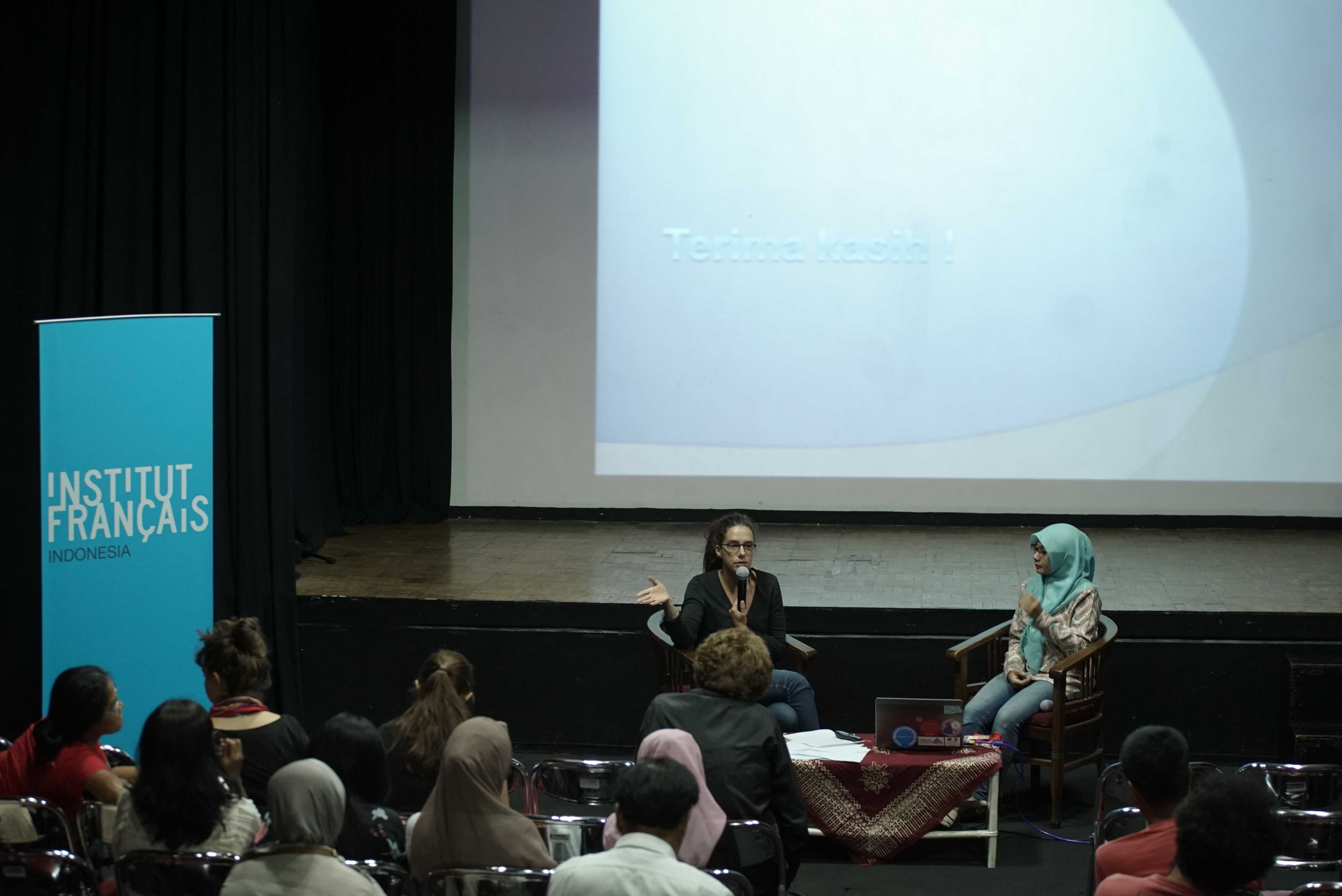
Adelin Martinez is an anthropology student specialising in relocation. She has been resident and actively researching this area since 2012. She started intensive research in 2014, with The focus of her research centred upon the community of Palemsari, previously one of the highest villages on Merapi. The 2010 eruption was devastating for many of the local communities and the residents of Palemsari lost everything.
After the eruption, the national volcanology and seismic hazards department (BPPTKG) mapped areas most at risk by combining data from local morphography and historical eruptions to produce a ‘three level’ disaster risk map showing the ‘Kawasan Rawan Bencana’ or KRB (disaster risk zones). Those in the highest risk zone or ‘KRB level 3’ are deemed most at risk to pyroclastic flows and lava bombs. Since the map was made, it has bolstered legal policy, making permanent habitation and construction illegal in this area. All residents of this area become eligible for relocation. The Government imposed mandatory relocation program was designed to relocate residents of the highest risk areas to lower risk areas. After a year and a half housed in a temporary relocation camp living in temporary shelters, the 81 families from Palemsari were relocated to a new neighbourhood 5km away to an area called Karang Kendal. The program aimed to create and support new socio-economic opportunities to ensure livelihoods could be sustained. Relocation was funded by the Jawa Reconstruction Fund donated by the Asian Bank, the Bank of Europe and the World Bank.
The communities in these areas are accustomed to a traditional, rural lifestyle supporting themselves with rearing livestock and small-scale agriculture. From an area covering 40hectares, the families of Palemsari were relocated to an area of only 13,000m2. There is an immediate disparity, preventing the relocated to sustain former livelihood practices and use the land in the same productive way.
There are now three main sources of income for inhabitants to support their recovery:
1) working in the now successful lava/post-disaster tourism industry either as guides or running shops on the land/near to former homes
2) extracting and selling sand from their formers homes
3) using the forest around the village (collecting wood, or grass for livestock etc).
Traditionally the ‘home’ was not just where one would live but also your place of work. For the relocated, the relocation village has become their home; however, their former home has become a place of work. Though the relocation programmes have imposed a change of residence, the residents still undertake activities on a daily basis in the high risks zones due to their need to maintain a livelihood and forge a way to recovery after the eruption.
In order to access former homes all residents need to be mobile, usually by motorbike; however the roads used are in disrepair and crowded. This is unlikely to improve as the roads are located in the KRB3 zone where new construction is forbidden. They are not liable for repair even though they are likely evacuation routes in the event of volcanic activity. As a result, the legal conditions set out for KRB3 areas are actually increasing the risk for relocated communities who still work in these areas every day. By extension the KRB3 zone causes difficulties for the future growth of tourism on Merapi and for the safeguarding of current visitor safety. Existing legislation has prevented the development of a common plan to secure effective evacuation should another disaster arise.

Adelin’s study has identified that there is a worrying omission in the state’s consideration and integration of local, community interests. Perceptions of time, space and risk are at variance with no acknowledgement of the notion that to work against the community is to be ineffective.
Adelin surmises that a more holistic land development policy with considered, reflective and impartial approaches may be the optimum resolution. Plans require an awareness of a wide range of other factors and not just natural risks. Tools and policy require adaptation to the every-day needs of the existing communities to fully achieve their intention and to prevent penalising inhabitants or expose them to greater risk.
…
Many thanks to Mas Galih for the photos!
")
")